Today’s pass over SoCal unfortunately doesn’t look any better. The fires east of Camp Pendleton and in Baja are visible as well. #CaliforniaWildfires pic.twitter.com/khM9TK1u0F
— Randy Bresnik (@AstroKomrade) 7 de diciembre de 2017
During an engineering flight test of the Cloud-Aerosol Multi-Angle Lidar (CAMAL) instrument, a view from @NASAArmstrong's ER-2 shows smoke plumes, from roughly 65,000 feet, produced by the #ThomasFire , around 1 p.m. PDT on December 5th, 2017. Photo Credit: Stu Broce pic.twitter.com/c6El8F0HJN
— NASA Armstrong (@NASAArmstrong) 6 de diciembre de 2017
Burn scars and active fires in Ventura County, CA are visible in this false-color view created using data from @ESA’s Sentinel-2 satellite on Dec. 5. Active fires appear orange, while burn scars are brown. Find out more: https://t.co/MXKj2lLIPi pic.twitter.com/g7OHGAvqTd
— NASA (@NASA) 7 de diciembre de 2017
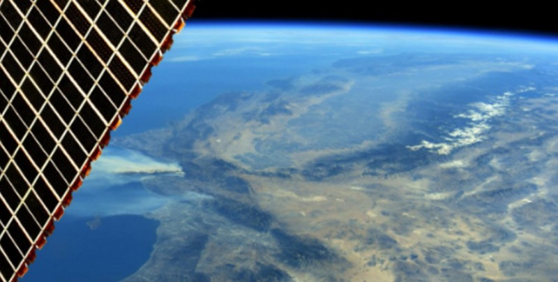
#Fires in Southern #California...The smoke plume from the California wildfires as seen from the International Space Station. pic.twitter.com/sP40CO3tIl
— Сергей Рязанский (@SergeyISS) 7 de diciembre de 2017
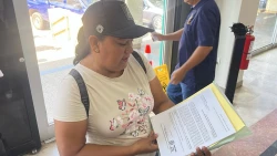
Thank you to all the first responders, firefighters, and citizens willing to help fight these California wildfires. #CaliforniaWildfires pic.twitter.com/TyeGx4z85Q
— Randy Bresnik (@AstroKomrade) 7 de diciembre de 2017